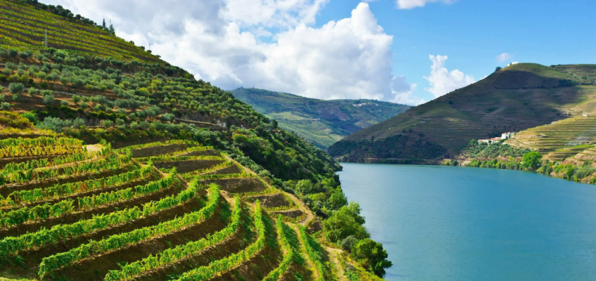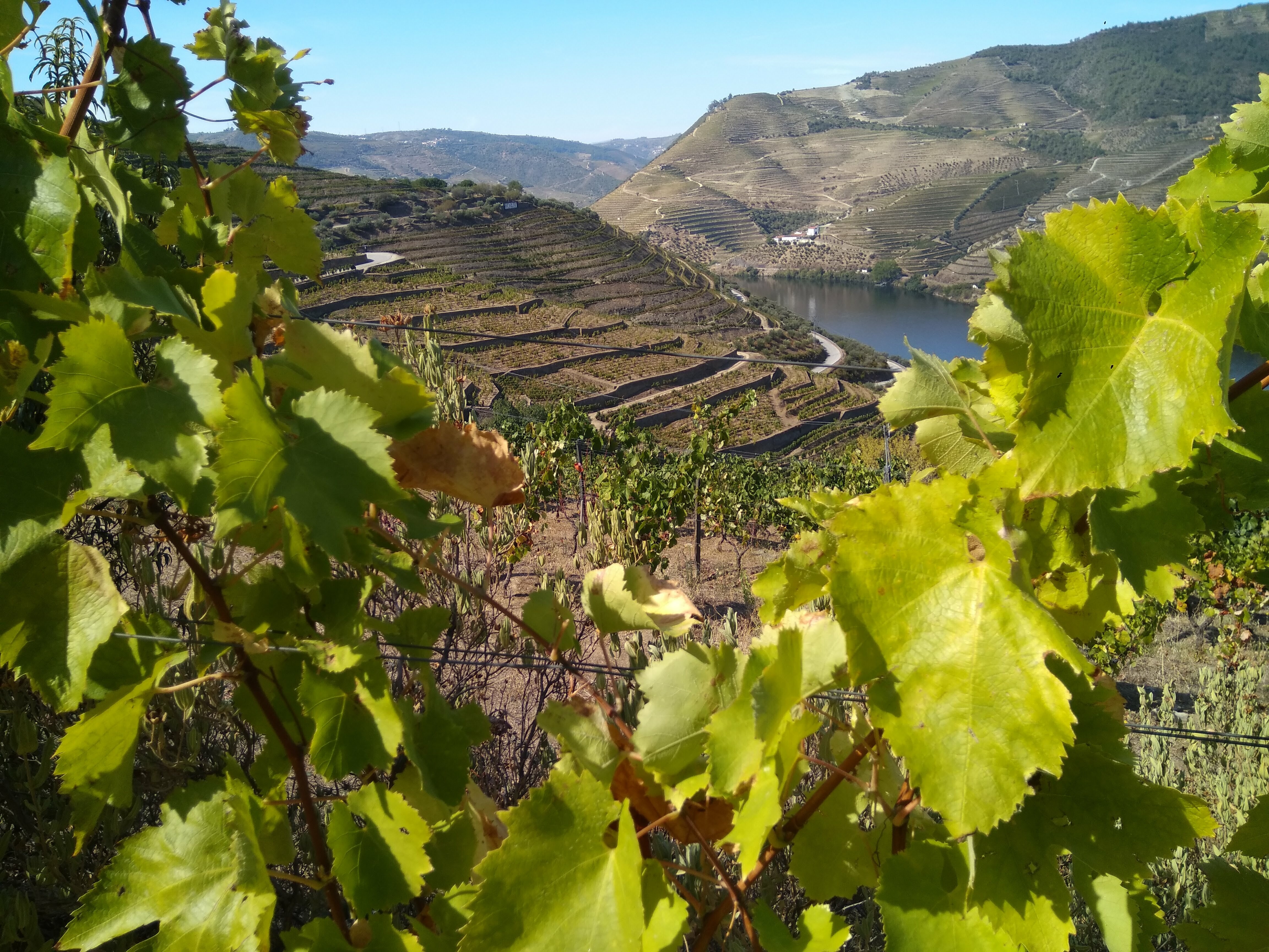
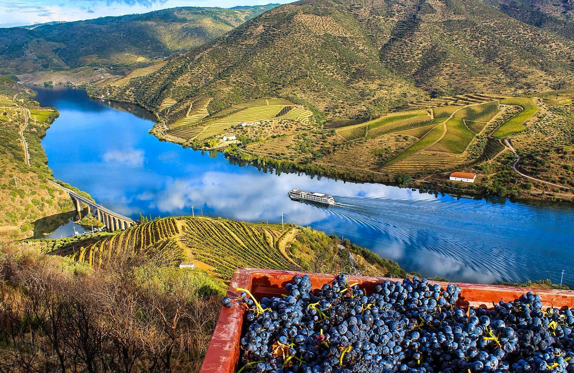
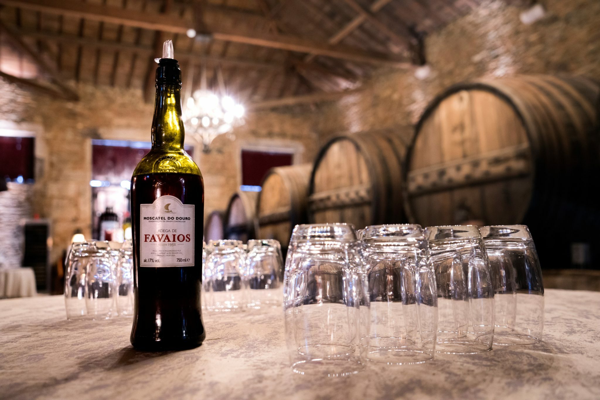
The Douro Demarcated Region extends along the Douro River and its tributaries over an area of around 250,000 hectares between Barqueiros and Barca d’Alva. This region has its origins in the territorial delimitation of 1756, the date of the first demarcation of the ‘Alto Douro Vineyards’, which defined the first institutional model for organizing a wine region worldwide.
Wine production in this territory is a lesson in man's ability and determination to optimize natural resources. The vineyards were built in a territory marked by steep slopes and the almost non-existence of land and water. The vineyards that cover the large slopes rise from the Douro River and form an immense staircase of terraces and terraces that are the most admirable of human work that can be seen in Portugal. The monumentality of the landscape of the Alto Douro Wine Region has recognized universal value, being a World Heritage Site (UNESCO 2001).

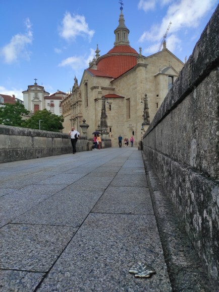
For some, Amarante is one of the most "romantic" cities in Portugal. It stands out on the banks of the Tâmega River with its surroundings - Medieval Bridge, S. Gonçalo Church/Monastery and Historic Center - and stands out for the beauty of its medieval, classical and baroque contours.
The city, which is currently home to around 50,000 inhabitants and which maintains agriculture as its main economic activity, limits the Vinhos Verdes production area to the East, being immediately confronted with the beginning of the Douro Wine Region. It is a region with granite soil and slightly higher temperatures, which favors better ripening of the grapes, resulting in a more distinct final product.
Historically, the city is closely related to the pilgrimage/devotion to S. Gonçalo (saint "matchmaker" for the elderly), and with the bridge next to the monastery, where at the beginning of the 19th century around 4000 troops defended and prevented the spread of Invasions. French for 14 days, without however preventing the almost total destruction of the city on the other bank...